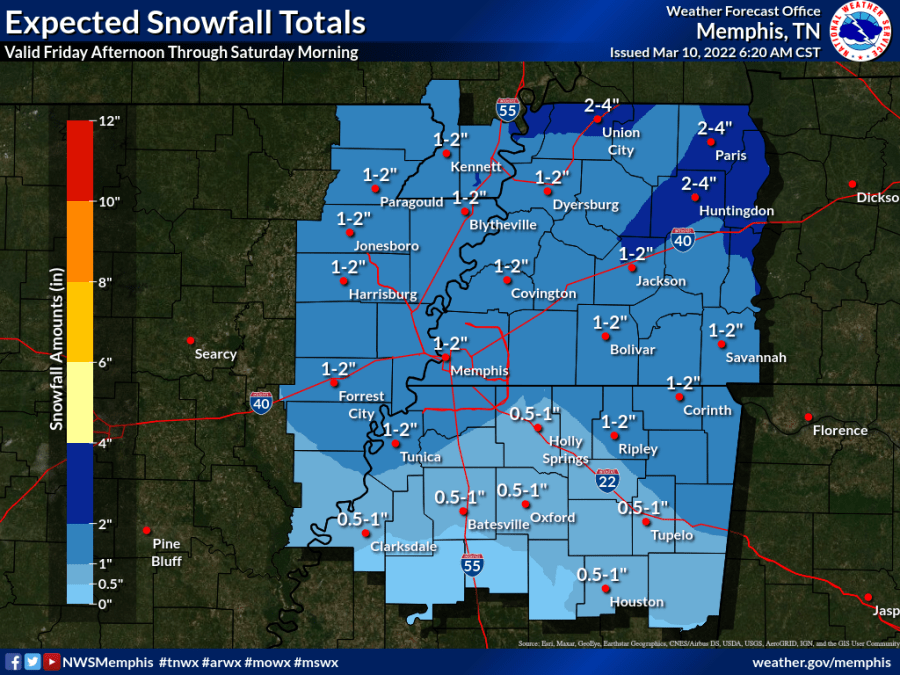
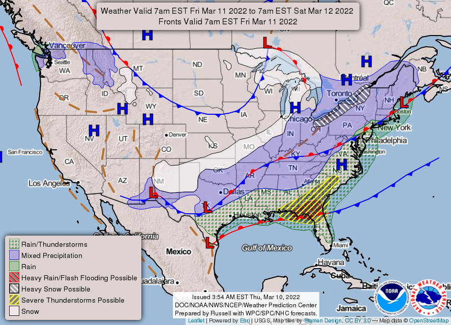
UPDATE: A Winter Weather Advisory has been issued for all of the Mid-South.
MEMPHIS, Tenn. — Believe it or not, snow is possible late Friday.
Things start to get interesting Friday night when a strong cold front drops into the News Channel 3 viewing area, bringing frigid temperatures along with it.
Weather models show precipitation starting out as rain transitioning to snow overnight into Saturday.
The NWS is confident that most of the MidSouth will see some accumulating snow, up to 2 inches in areas along and north of 1-40 and closer to the Tennessee River (susceptible to change).
The takeaway is that travel could be impacted by slick roads into Saturday. Be mindful if you plan to travel.
The other weather story will be the much colder temperatures behind the front.
We’re looking at an almost 40-degree temperature switch from Friday afternoon to Saturday morning! And, temperatures will struggle to make it above the 30s on Saturday.
Forecasting snow is tricky – it all depends on the right atmospheric setup.
Moisture, temperatures, and how warm the surface is will all affect accumulation. A slight change in any one of those things could mean more or less accumulation than expected.
The good news is that this will be a short cold spell – we’re back in the upper 50s on Sunday with sunshine!
► Check our weather forecast page and click here for the latest weather alerts.


